Specialist Solutions - Game Counting
Accurate wildlife census data for reserves, lodges, and conservation operations
Look Up Pro provides drone-based game counting and wildlife population surveys using thermal and HD imaging across South African game reserves and conservation areas. Systematic transect methodology, species-level reporting, and defensible census data at a fraction of helicopter cost.
- Thermal & HD Imaging
- SACAA Compliant
- Transect Methodology
- Season: May-Aug
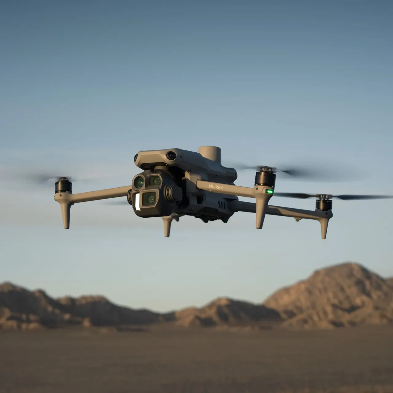
Thermal Imaging Capability
Detects heat signatures through light vegetation ideal for dawn and dusk counts when animals are most active
Systematic Transect Coverage
Structured flight lines across the entire property reproducible methodology for year-on-year population trend tracking
Species-level Identification
HD imagery and thermal detection with species identification not just total animal counts
SA Winter Season: May-August
Low vegetation and clear sightlines make winter the primary counting window book early to secure your season slot
Why Drone Counting
Drone counts vs helicopter and ground methods
Traditional helicopter game counts are accurate but expensive particularly for smaller reserves or operations running annual surveys. Drone-based counting delivers comparable methodology at significantly lower operational cost.
Cost - substantially lower than helicopter rates
Helicopter game counting at South African commercial charter rates runs significantly higher per hour than drone operations. For properties up to several thousand hectares, drone-based counting delivers the same census data at a fraction of the cost, making annual surveys financially viable for more operations.
Animal disturbance - less disruptive than helicopters
Drones operate at lower altitude and produce significantly less noise disturbance than manned aircraft. Animals typically show minimal reaction to drone overflights, allowing more natural behaviour observation and less scatter that affects count accuracy.
Thermal detection - finds animals ground observers miss
Thermal cameras detect heat signatures under light vegetation cover and during low-light conditions at dawn and dusk, the most active periods for many species. Ground-based counts and even visual aerial counts miss a meaningful portion of the population in these conditions.
Repeatability - same flight plan year after year
The same systematic transect pattern is flown each year producing directly comparable data for population trend analysis. This consistency is difficult to achieve with manned aircraft operations and nearly impossible with ground-based teams.
Safety - no personnel risk in difficult terrain
Low-level helicopter operations over uneven game reserve terrain carry real pilot and observer risk. Drone-based counting eliminates this risk entirely the team stays on the ground while the aircraft covers the property.
Relative cost comparison
Indicative relative cost per flying hour actual rates vary by property size, location, and requirements.
The cost advantage is most significant for properties under 5,000 ha where a full helicopter charter day represents a disproportionately large annual survey cost. Contact us to discuss pricing for your specific property size and requirements.
When helicopter counts are still preferred
For very large properties over 10,000+ ha, or where extremely rapid single-day coverage is required, helicopter counts may remain the practical choice. We are transparent about this we recommend the right method for your property size and count objectives, not just the drone option by default.
Seasonal Planning
Game counting season: May through August
South Africa's winter months bring lower vegetation, better sightlines, and concentrated animal movement around water sources the ideal conditions for accurate wildlife population surveys. Importantly, this window is the opposite of the spraying season, making it a natural revenue complement for both clients and Look Up Pro.
Species Coverage
What we count and identify
Our game counting service covers the full range of South African wildlife commonly found on game reserves, hunting lodges, and conservation areas.
Large Game
High-value species with direct conservation and permit implications. Census data supports TOPS permit applications and population management decisions.
Rhino, elephant, buffalo, hippo, giraffe
Plains Antelope
The core census species for most game operations. Population numbers, sex ratios, and age structures inform breeding and offtake decisions for hunting lodges and reserves.
Impala, kudu, wildebeest, zebra, waterbuck, reedbuck, nyala, bushbuck
Predators
Presence and movement patterns of key predator species. Thermal imaging is particularly effective for detecting predators at dawn and dusk when they are most active.
Lion, leopard, cheetah, wild dog, hyena
Smaller Species
Often undercounted in traditional methods, thermal detection significantly improves detection rates for smaller species in dense bush or nocturnal movement patterns.
Warthog, steenbok, duiker, klipspringer, oribi
Herd Structures
Beyond total population numbers herd size distribution, bull-to-cow ratios, calf crop percentages, and age class composition for species where herd structure data has management value.
Sable, roan, tsessebe, eland, gemsbok
Special Purpose Counts
Anti-poaching surveillance counts, rehabilitation progress monitoring for rewilded populations, species introduction baseline surveys, and donor reporting for conservation programmes.
By arrangement contact us to discuss
Methodology
How we conduct a drone game count
A structured systematic approach produces census data that is defensible, reproducible, and useful for population trend tracking over time.
Property mapping and flight plan design
The property boundary is mapped and divided into systematic transect corridors. Flight lines are spaced to achieve defined coverage of the survey area. Timing is planned around first and last light for optimal animal visibility and thermal detection.
Simultaneous thermal and HD capture
The drone flies each transect line at a consistent altitude, capturing both thermal and HD video/imagery simultaneously. Thermal detects heat signatures including animals under light bush cover. HD imagery confirms species and allows herd structure assessment.
Real-time logging and GPS tagging
All sightings are logged in real time with GPS coordinates, time stamps, and species identification. Every recorded animal position is mappable producing spatial distribution data alongside population numbers.
Post-flight data review and verification
Thermal detections are cross-referenced with HD footage to verify species identification, remove duplicates, and confirm herd sizes. This review step is what separates a rigorous count from a simple overflight.
Census report and population map delivery
A structured report is produced with species counts, detection maps, herd structure data where applicable, and a methodology summary for compliance and reporting purposes.
Methodology and accuracy
Drone-based game counting does not achieve 100% detection no method does. What it does produce is:
- A consistent, repeatable methodology that can be re-run each season on the same flight plan
- Detectability rates that are generally comparable or superior to low-level helicopter counts for most species in winter conditions
- Thermal detection that significantly improves detection of nocturnal and cryptic species that visual methods routinely miss
- GPS-tagged sighting data that allows spatial distribution mapping - not just total counts
- A written methodology statement for TOPS permit applications, donor reports, or conservation programme submissions
For operations requiring formal certified wildlife census data for regulatory purposes, we recommend working alongside a qualified wildlife manager or ecologist who can certify the results - we provide the data and methodology documentation to support this process.
Technology
Thermal and HD - both sensors, every flight
Game counting flights use both thermal and high-definition imaging simultaneously each sensor contributes something the other cannot provide alone.
Thermal (Infrared) Camera
Detects heat signatures from warm-bodied animals against the cooler background cutting through light bush cover, long grass, and shadow that defeats visual detection. The primary tool for initial animal detection.
Detects animals under light vegetation and grass
Most effective at dawn and dusk peak animal activity
Works in low-light conditions before full daylight
Detects heat signatures at distance wide effective swath
Particularly effective for locating predators and nocturnal species
High-Definition (HD) Camera
Provides the visual resolution needed for species identification, sex and age class determination, and herd structure assessment. Confirms what the thermal sensor detected and adds the biological data that makes count reports useful.
Species identification from thermal detections
Sex and age class assessment on clear HD imagery
Herd count verification and structure documentation
4K video logging of transect flight for post-review
Still image capture of notable individuals or groups
Deliverables
What you receive after the count
Census Report
Structured population report with species-level counts, totals, detection notes, and a methodology summary. Suitable for permit applications, donor reports, and internal management records.
PDF Delivered within 5 business daysSpecies Distribution Maps
GPS-tagged sighting data plotted on property maps showing where each species group was detected during the count. Identifies hotspots, movement corridors, and range patterns.
PDF map KML/shapefile on requestPopulation Summary Data
Species count spreadsheet with totals, estimated detection confidence, herd size distribution, and sex/age ratios where identifiable. For use in management planning and stocking calculations.
Excel CSVThermal & HD Footage
Raw and reviewed flight footage from both sensors. Thermal video showing detection events, and HD footage for species verification and notable observations. Available on request.
MP4 On requestYear-on-Year Comparison
For repeat annual clients - a trend comparison against previous count data on the same transect lines. Population trajectory, new species presence, and notable changes flagged in the report.
PDF Included for repeat annual clientsMethodology Statement
A formal methodology description suitable for inclusion in TOPS permit applications, Nature Conservation submissions, conservation programme reports, or donor accountability documentation.
PDF Included with every countWho We Work With
Who uses this service
Game Reserve Managers
Annual population census for management planning, stocking decisions, hunting quota applications, and overall reserve health assessment. Often the primary driver for annual drone count bookings.
Hunting Lodge Operators
Annual census to support trophy hunting quota applications to provincial conservation authorities. Accurate, documented counts are the foundation of a compliant hunting operation.
Conservation Ecologists
Baseline surveys for new conservation areas, species-specific monitoring programmes, rewilding population assessment, and long-term biodiversity monitoring with repeatable methodology.
Anti-Poaching Operations
Regular patrol support and rhino/elephant population monitoring. Thermal imaging at dawn and dusk identifies unusual activity and confirms the location and condition of high-value species.
Conservation NGOs & Trusts
Donor accountability reporting, grant-funded species monitoring, and independent census data for conservation programme assessment and annual impact reporting.
Permit & Compliance Requirements
TOPS permit applications, provincial CapeNature and Ezemvelo submissions, and wildlife translocation assessments all benefit from documented, systematic population survey data.
Common Questions
Frequently asked questions
Accurate comparison is difficult because both methods have detectability limitations. In South African winter conditions with low vegetation, well-conducted drone counts using thermal plus HD imagery achieve detection rates that are broadly comparable to helicopter counts for most common plains game species. For large game (rhino, elephant, buffalo) on smaller properties with good visibility, detection rates are very high. For cryptic or dense-bush species, thermal imaging often outperforms visual helicopter methods. The honest position is that no method achieves 100% detection what we provide is a consistent, documented methodology that produces defensible data useful for population management and trend tracking.
Property size coverage depends on vegetation density, required transect spacing, and the time window available for optimal counting conditions (typically the two to three hours around dawn and dusk). For well-configured flight planning with systematic transect coverage, properties of 1,0003,000 ha can typically be completed in a single day, including both dawn and dusk sessions. Larger properties of 5,000+ ha usually require two or more days. We scope the required flight time, battery cycles, and day count during the quoting process based on your property map and size.
TOPS (Threatened or Protected Species) permit applications to provincial conservation authorities require supporting population data for listed species. The acceptability of drone-based census data varies by authority and application type some accept it as primary evidence, others prefer it supplemented by a qualified wildlife manager's assessment. We provide a full methodology statement with every count that documents the survey approach, technology used, coverage area, and detection methodology in a format suitable for supporting permit documentation. We recommend confirming the specific evidence requirements with your provincial authority or qualified ecologist before relying on drone data alone for permit submissions.
Yes and for most formal reporting purposes this is the recommended approach. Look Up Pro provides the aerial data capture, systematic methodology, and raw count data. Your ecologist or wildlife manager interprets the results, applies species-specific knowledge, and certifies the population assessment in their professional capacity. This collaboration typically produces better outcomes than either party working independently the drone data is more systematic and comprehensive than ground observation alone, and the ecological interpretation adds context the drone data cannot provide by itself.
Thermal drone flights covering a property for a wildlife census produce exactly the kind of aerial picture that is also useful for anti-poaching situational awareness unusual activity, vehicle tracks, personnel presence, and the location and condition of high-value species. While the primary objective of a count flight is census data, we can discuss supplementary surveillance observations as part of the overall flight scope. For dedicated ongoing anti-poaching surveillance operations, we have a separate Security & Surveillance service that covers contracted, regular patrol drone operations contact us to discuss what your operation requires.
Request a Quote
Ready to book your winter game count
Tell us your property name, approximate size, primary species of interest, and your preferred count window. We will scope the flight plan and get back to you with a project-specific quote. Winter slots fill early book ahead.